Unprecedented Permafrost Thaw – Unlocking Ground for New Life and Release of Old Soil Carbon, Pollutants, and Pathogens (ExtremeThaw)
Beat Frey
Konstantin Gavazov
Markus Holzner
Katrin Di Bella Meusburger
Jeannette Nötzli
Marcia Phillips
Michael Zehnder
Annegret Udke
2021 - 2025
Finanzierung
As global temperatures rise, rapid permafrost thaw is destabilizing landscapes, releasing carbon and pollutants, and disrupting ecosystems – posing threats to infrastructure, public health, and global climate stability. The ExtremeThaw project is working to enhance our understanding of this phenomenon in Switzerland’s alpine regions, helping to shape effective response strategies.
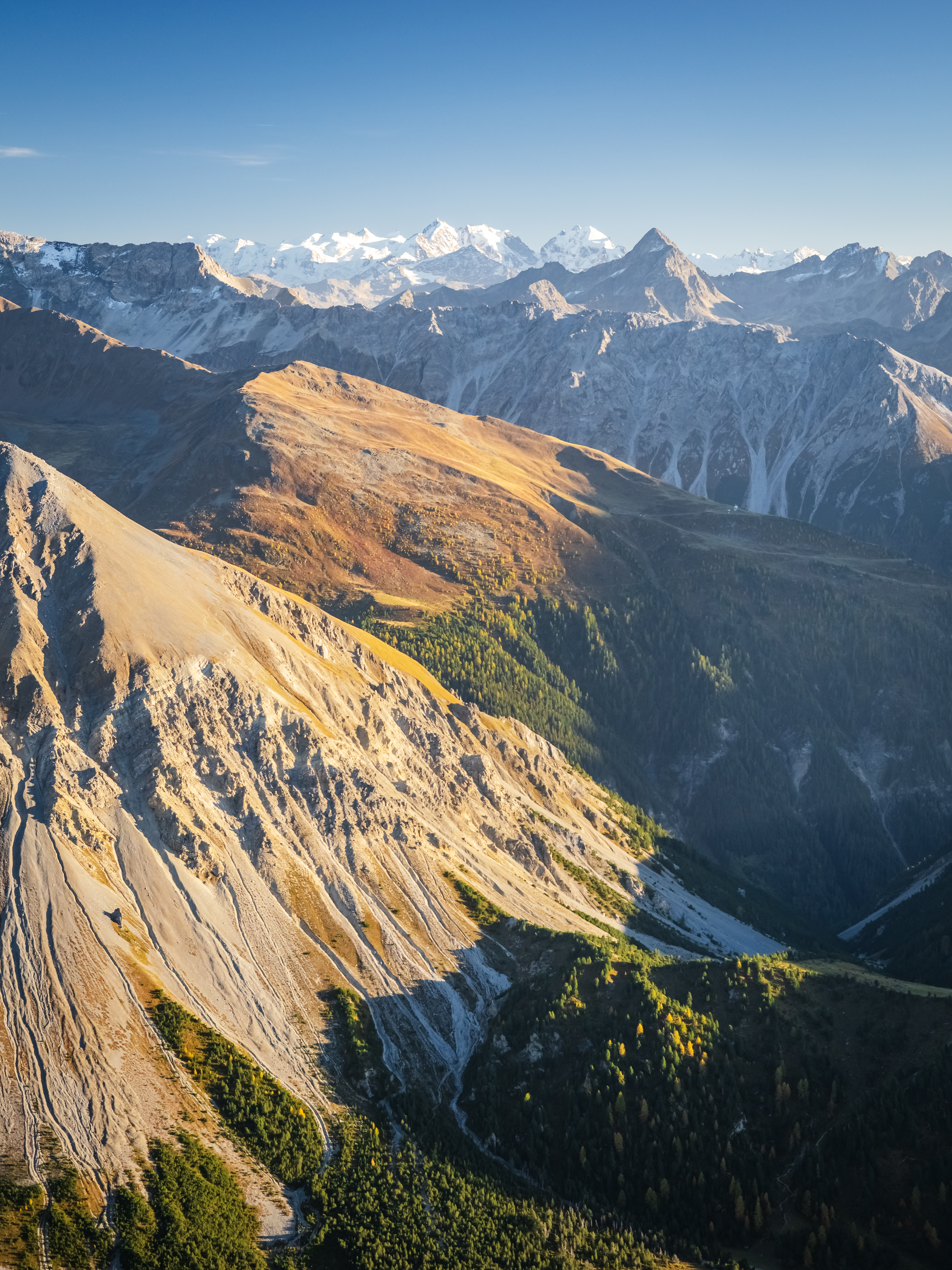
Permafrost, the planet’s permanently frozen ground, is thawing at an unprecedented rate due to amplified warming in colder regions. While the effects of permafrost thaw in arctic regions are better known, investigations into how thawing permafrost may impact alpine ecosystems and the services they provide have, to date, been limited. Nevertheless, these potential impacts could prove critical.
New and Ancient Threats 
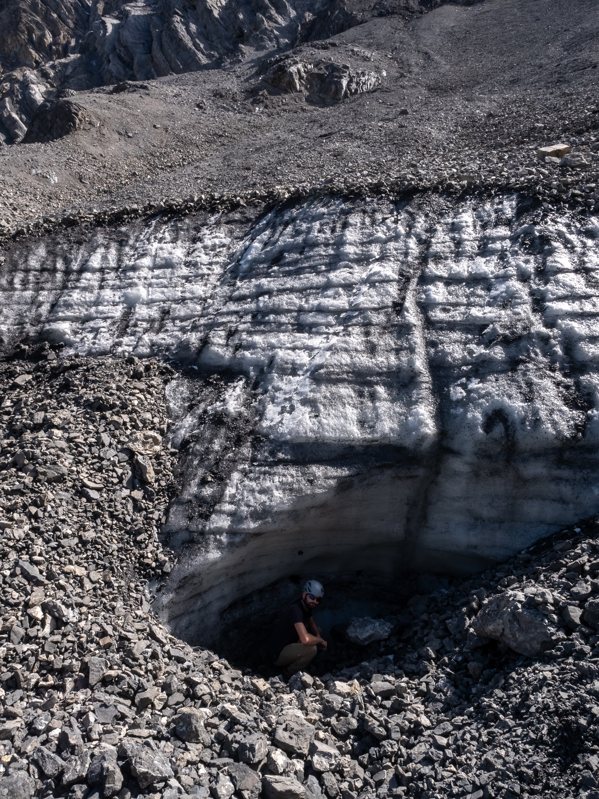
Permafrost regions hold a vast reservoir of carbon, which, as the permafrost thaws, is now being released back into the atmosphere. This release is accelerating global warming, with potentially irreversible consequences. Despite the significant danger this poses, the amount and level of vulnerability of the ice and carbon stored in the alpine permafrost region is still poorly understood. And it is not just the release of carbon that poses a threat. As permafrost thaws, mountains – a crucial source of water for downstream communities – may also discharge other pollutants and antibiotic-resistant pathogens that have been trapped for millennia, damaging water quality and presenting new environmental and health risks. Alpine soils, for example, have been found to contain concentrations of the toxic element mercury that are significantly higher than in lowland areas. The destabilization of mountain slopes as permafrost degrades is also leading to debris flows and rock falls, posing an additional danger to infrastructure and human life.

Filling a Critical Knowledge Gap 
Until recently, Swiss environmental agencies have largely disregarded alpine areas in their monitoring schemes, in part due to the challenges of accessing and conducting fieldwork in the difficult terrain at higher elevations. Furthermore, in the case of greenhouse gas budgets, pools and fluxes from unmanaged land such as the alpine zone were not reported within the framework of the United Nations Framework Convention on Climate Change (UNFCCC). However, following the Paris Agreement in 2016, Switzerland committed to reporting nationally determined contributions (NDCs) on a countrywide scale, requiring a quantitative assessment of carbon pools and their changes in alpine terrain.
The ExtremeThaw project aims to help meet this knowledge need by quantifying carbon stocks and investigating the impacts of permafrost thaw on key ecosystem functions and services in the Swiss alpine zone. To this end, the project team is in the process of conducting a comprehensive risk assessment focusing on four key areas:
- Greenhouse Gas Emissions: Assessing the potential for thawing permafrost to release ancient carbon into the atmosphere, contributing to climate change.
- Pollutant Release: Investigating the release of legacy pollutants into alpine water systems, which could affect water quality in springs, streams, and lakes.
- Hazardous Microorganisms: Examining the potential for thawing permafrost to introduce unknown and potentially hazardous microorganisms into the environment.
- New Carbon Sinks: Estimating the potential for newly unfrozen ground to support new vegetation and microbial communities, which could sequester carbon and enhance alpine biodiversity.
Research to Address Future Risks 
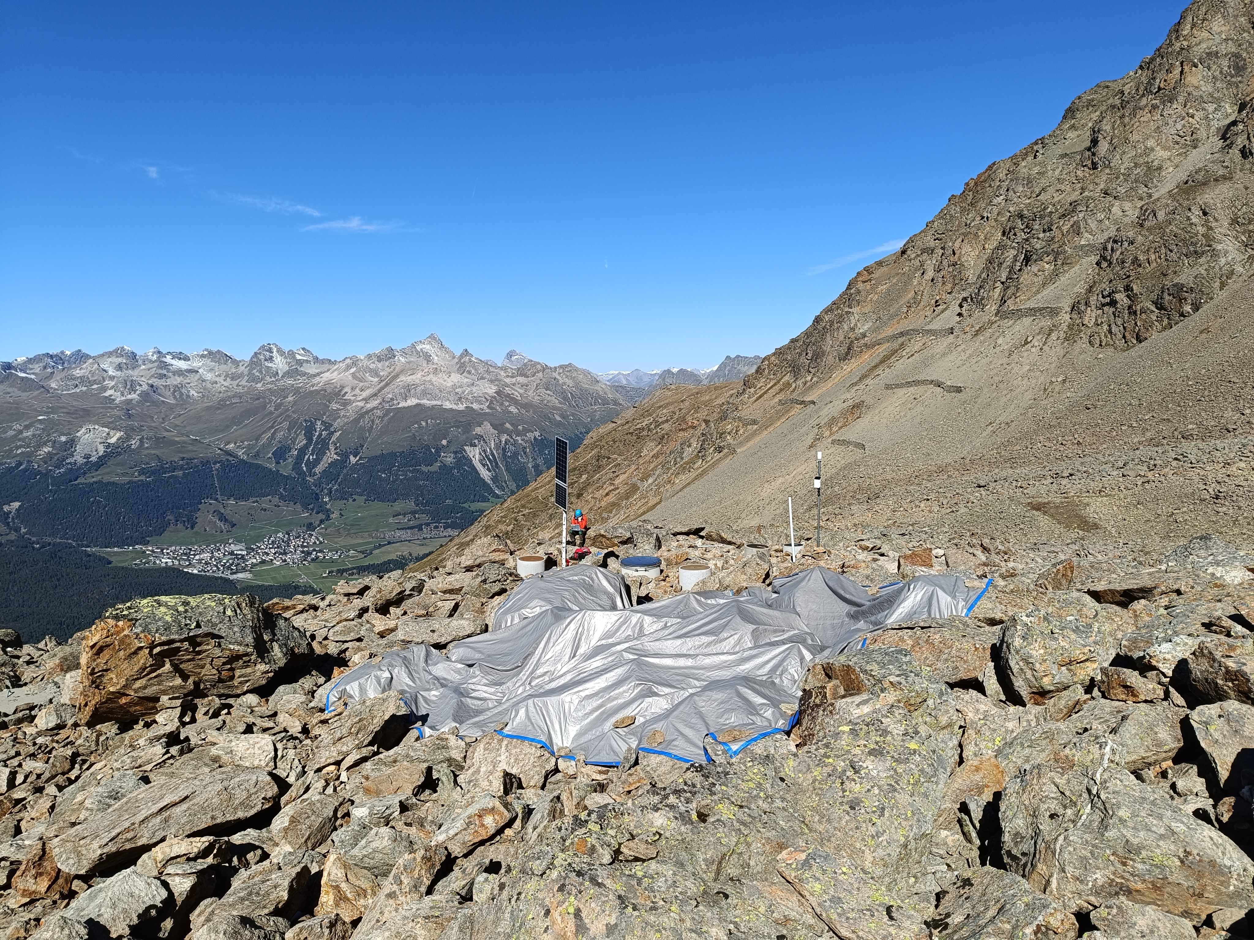
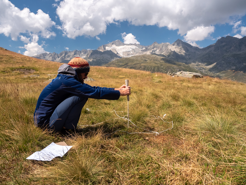
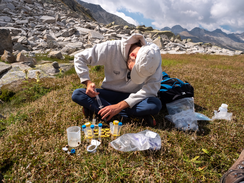
To provide a robust analysis of the current state and future risks of permafrost thaw, the ExtremeThaw project team are leveraging existing data, such as the SLF permafrost and ground ice map, and climate stations across the Swiss Alps that were originally established for snow research. Key activities include:
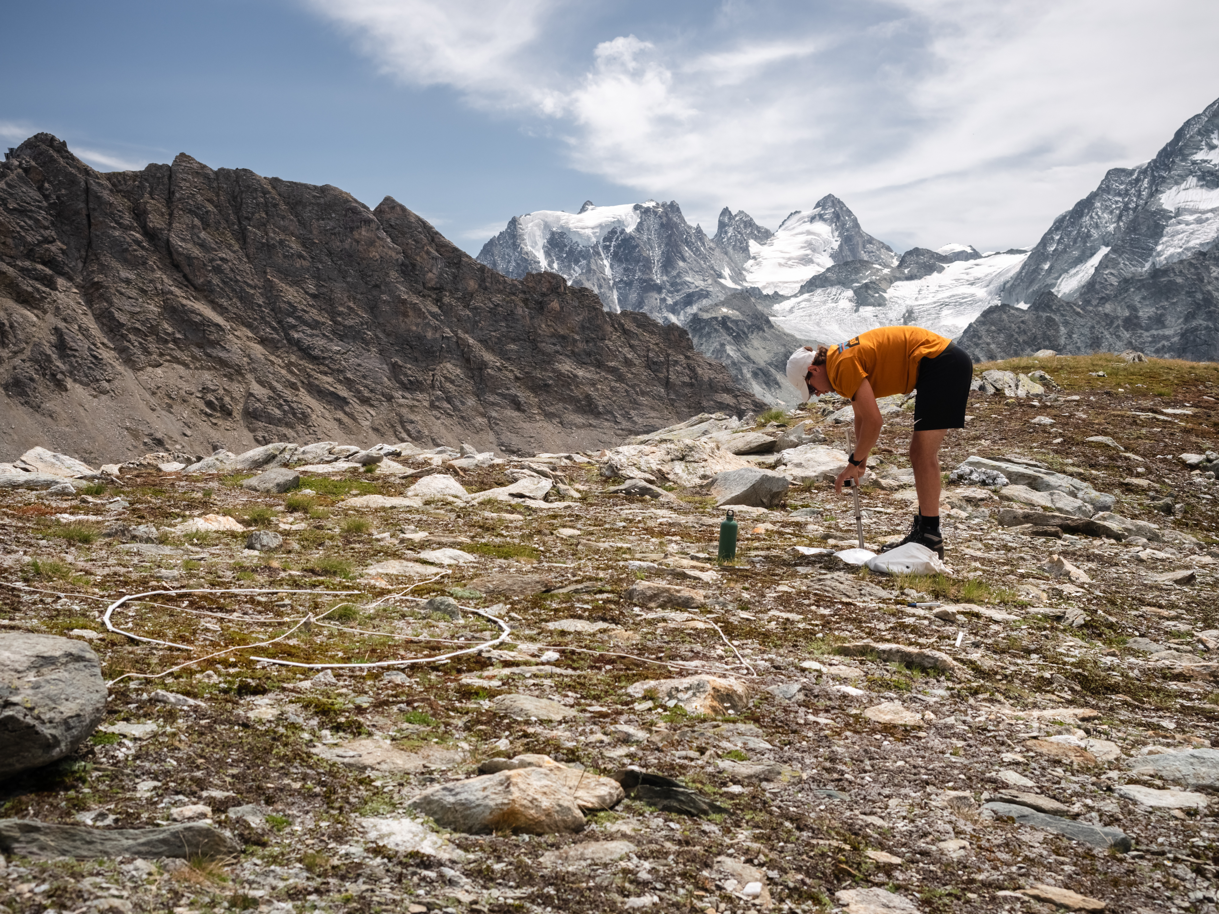
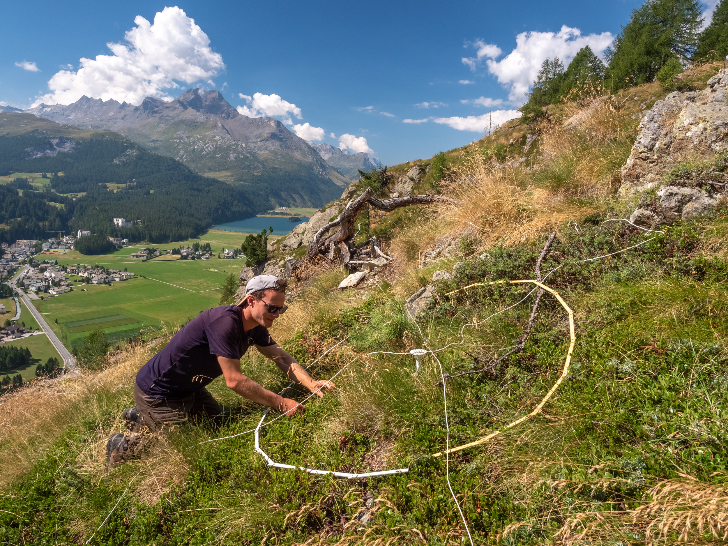
- Plant Growth Monitoring: At over 100 climate stations, the ExtremeThaw team are using ultrasonic sensors to measure plant growth, species composition, and above-ground biomass. They have found evidence for shifts in vegetation phenology over the past 25 years, highlighting the impacts of climate change on alpine ecosystems.
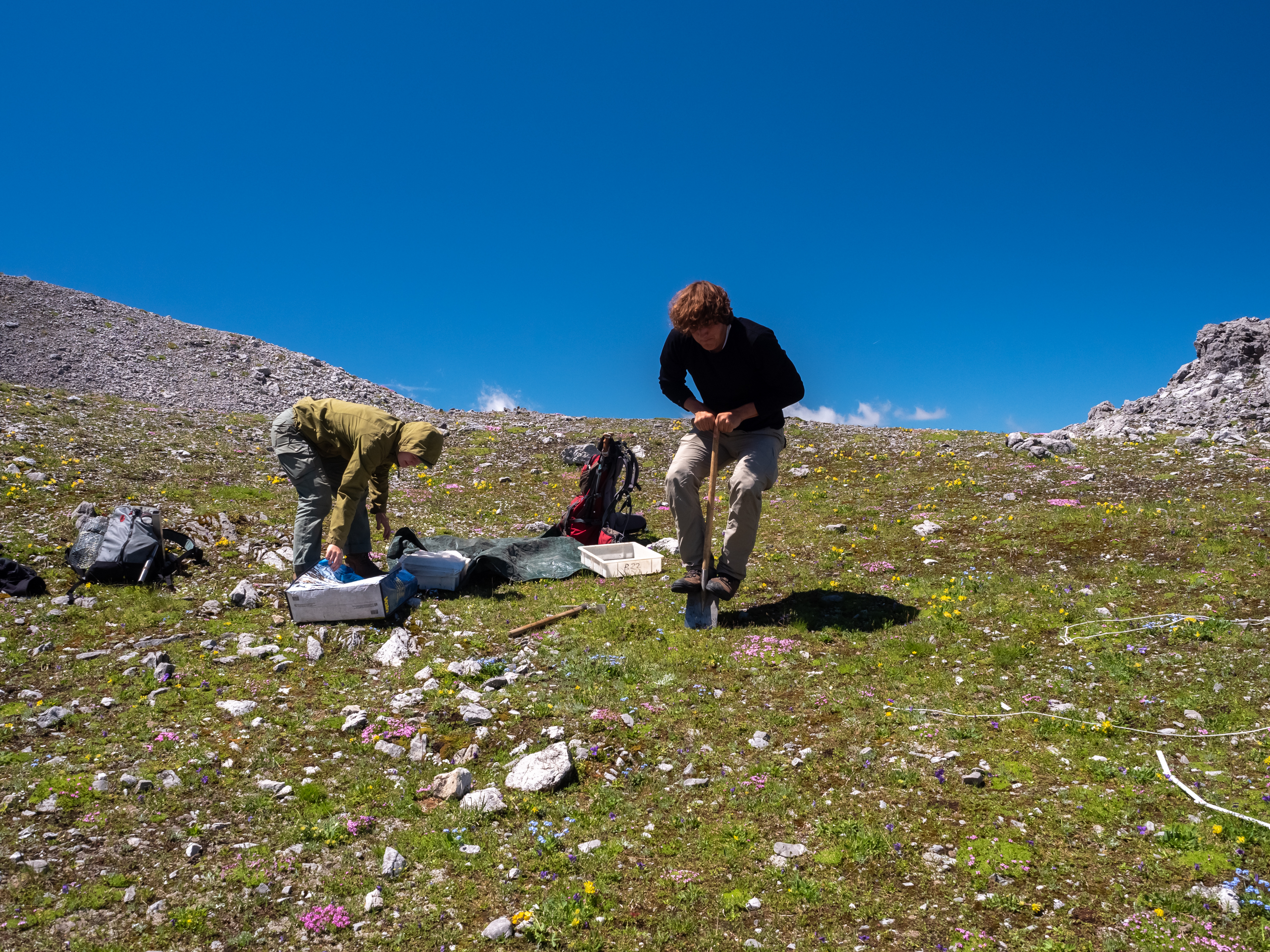
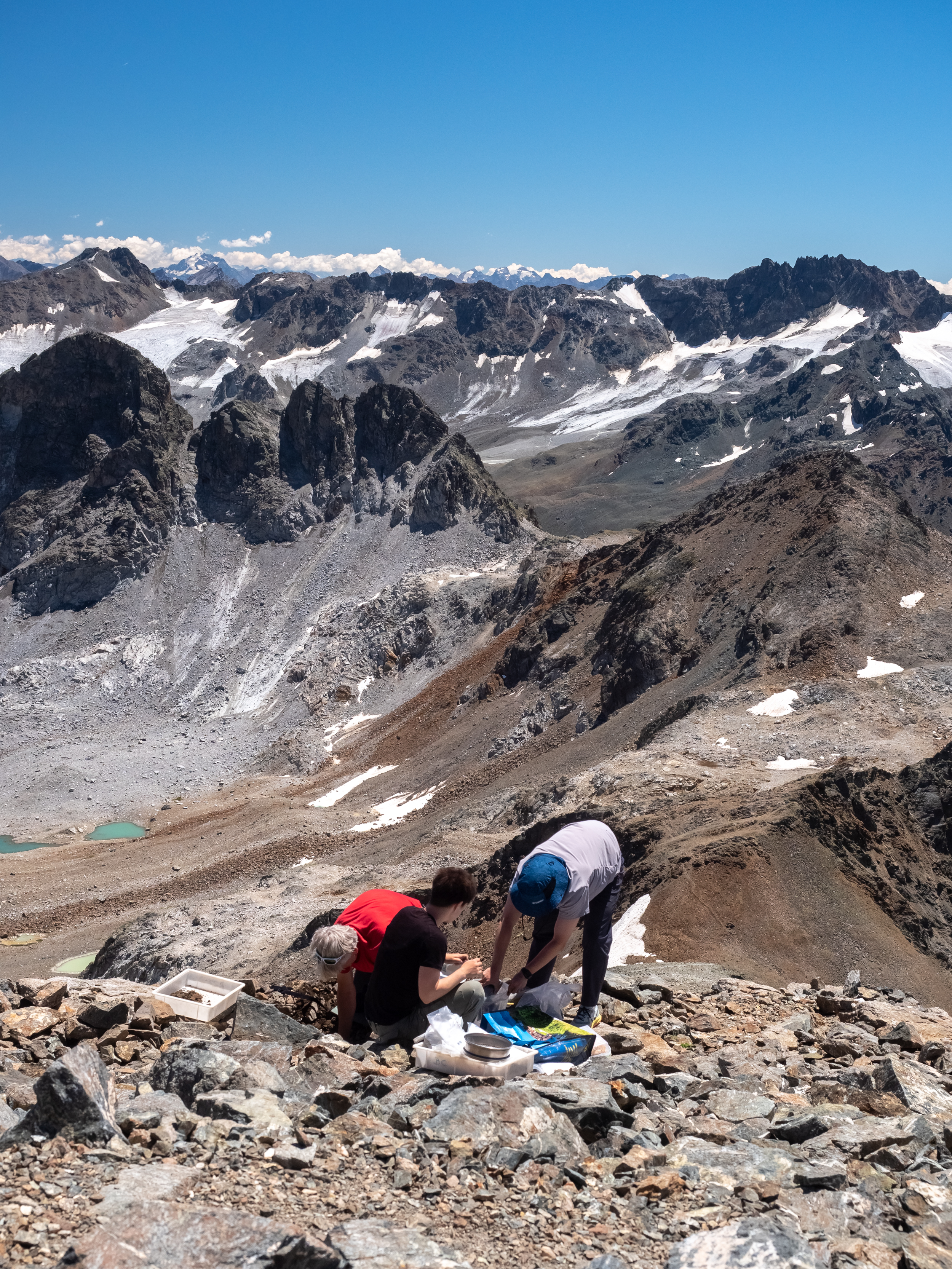
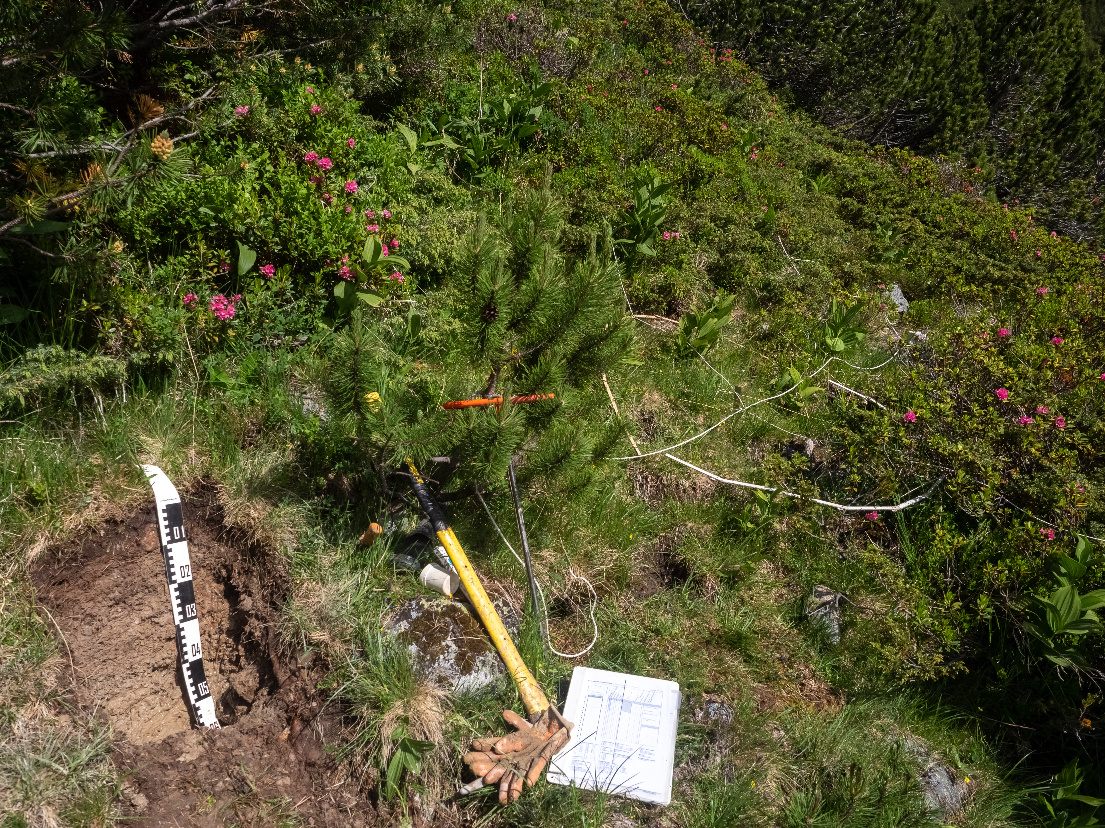
- Carbon Pool Analysis: ExtremeThaw are surveying full soil profiles along several elevation gradients, from forests into the alpine zone, to assess how soil carbon changes with altitude. Preliminary results suggest that soil organic carbon becomes more stable with elevation, but the overall amount of carbon decreases rapidly above the zone of continuous vegetation cover.
- Investigating Microbes, Plants, and Soil Carbon: ExtremeThaw are analyzing the relationship between above-ground plant communities and below-ground carbon pools and microbial diversity. This work will enhance our understanding of how vegetation can serve as an indicator of ecosystem health and carbon storage potential.
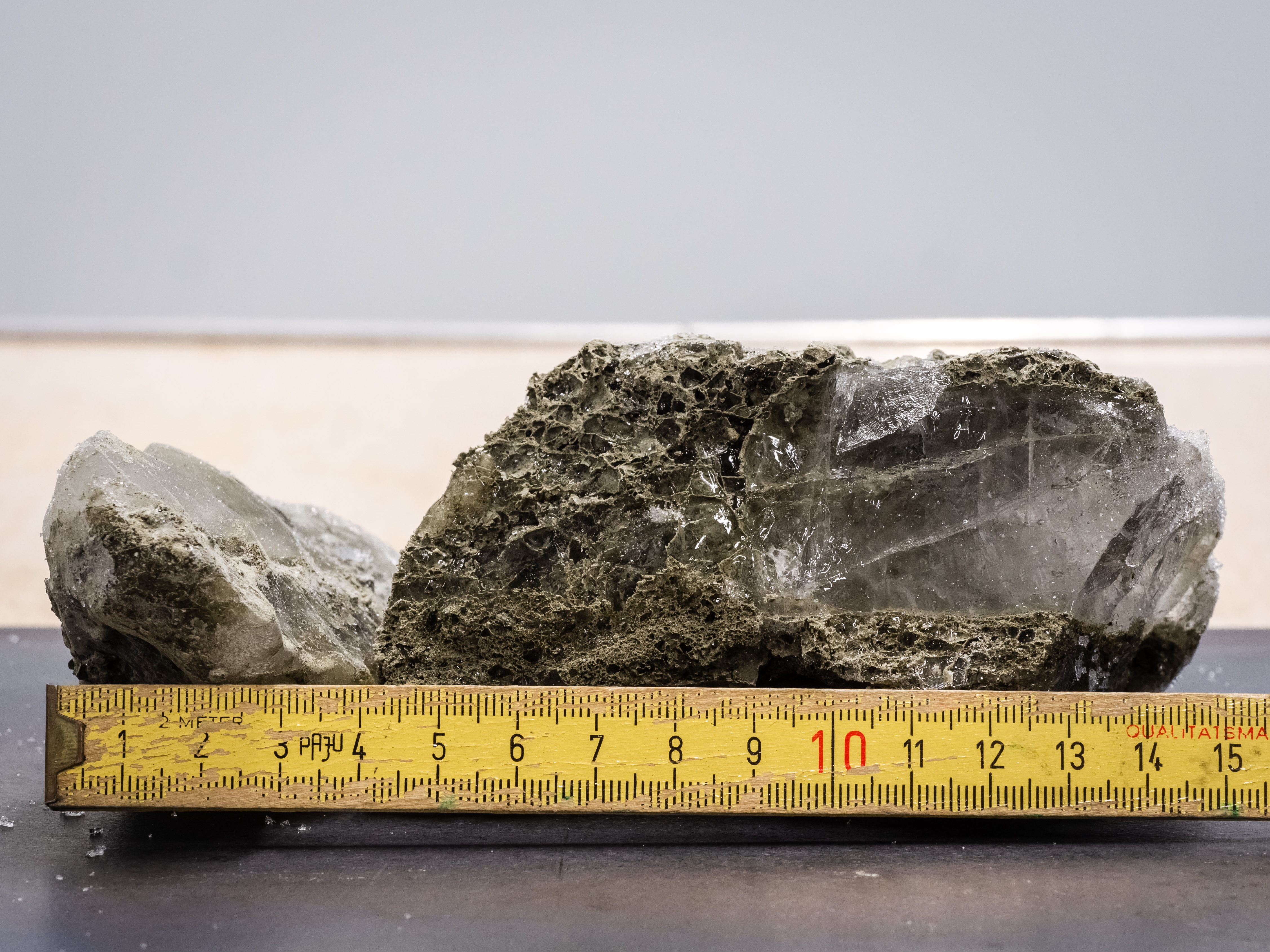
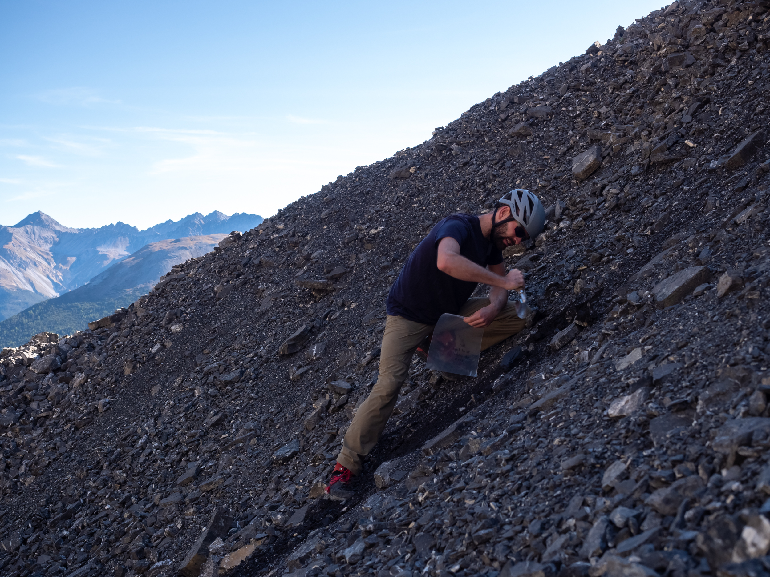
- Studying Buried Paleosols: At several high-altitude sites, the ExtremeThaw team have discovered ancient soils buried under stone layers, which contain carbon from earlier warm periods. These soils are currently losing old carbon, albeit at a low rate, indicating that they could become sources of carbon emissions as the climate warms. Once plants recolonize these soils, there will also be the potential to store new carbon.
- Quantifying Carbon: Based the findings of each of the research activities undertaken (relationship of carbon with elevation, topography, plant cover etc.), the ExtremeThaw team plans to quantify carbon stocks and plant growth in the Swiss alpine zone. This will help us better understand the carbon losses through soil and the carbon gains through plants resulting from climate change.
Through this multifaceted research, the ExtremeThaw project team are generating critical data needed to better understand the environmental and societal risks – and also the potential benefits – associated with permafrost thaw in the Swiss alpine region. Their results will provide policymakers with the information required to manage these risks, contribute to Switzerland's reporting under international climate agreements, and enhance our overall understanding of alpine ecosystems in a changing climate.


The ExtremeThaw project is part of WSL’s Extremes Research Program, which aims to equip Swiss stakeholders with the resources needed to meet the challenges of future extreme events.